GPS navigation tool: Supports GPX-tracks and images as Map Overlays.
GPS navigation to a Map Image and Track.
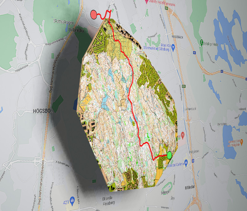
MapOnMap is a tool where you can place your high detailed hiking map on top of an online map, i.e. an Overlay Map.
I have found it useful to have a tool, where I'm able to photograph a map, which I can navigate with the phone's GPS.
It could be a map on an information board, a tourist guide map or a hiking map etc.
MapOnMap also supports Track Navigation.
With MapOnMap you can record and navigate with GPX-tracks.
It also supports Track Geofence, which means that you get a voice notification if you get too far off the track.
GPX-tracks is a standard format for describing tracks and can often be found on hiking sites.
These two main features makes it a perfect hiking navigation tool.